
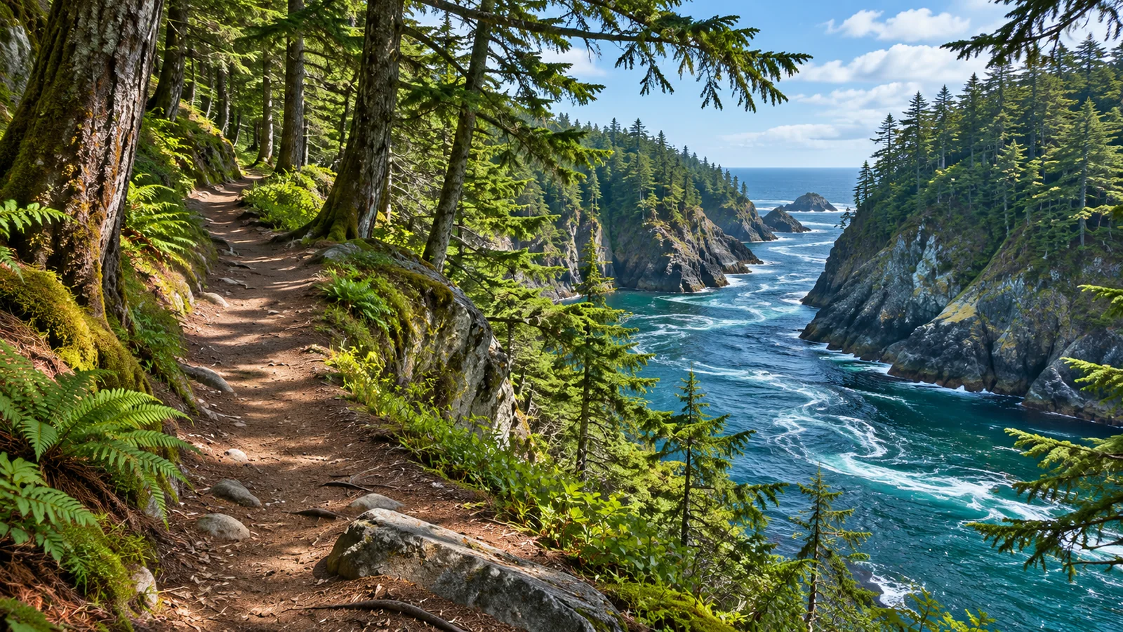
The Ripple Rock Trail is an approximately eight-kilometre return hike north of Campbell River. It follows the Menzies Bay area before climbing to a viewpoint over Seymour Narrows. Start from the Highway 19 trailhead on Vancouver Island and return the same way. Use the trail map to locate the parking area, and set aside a few hours so you can take breaks and spend time at the lookout. Destination Campbell River 2026 visitor guide · Recreation Sites and Trails BC Ripple Rock trail map
Find the Highway 19 trailhead
Use the provincial trail map and look for the signed approach off Highway 19 north of Campbell River. Destination Campbell River places the trailhead about 16 kilometres north of town. Use that distance as a general reference and follow current signs to the parking area. If you’re starting from a specific place in the city, map the drive from your own address. A search for Ripple Rock itself may show the feature in the narrows rather than the road access.
Share the trailhead location if you’re meeting a second vehicle. Look at the route to the car park before you set out so both drivers know which turn to make. If the lot is crowded or the approach is affected by work, follow signs and use suitable parking. Keep gear out of the traffic lane while you get ready. Check how long everyone expects to hike and give them a way to find the same meeting point on return.
Walk out towards Menzies Bay and Seymour Narrows
Begin with the trail map and note the overall shape of the route. It passes through the Menzies Bay area before reaching a viewpoint towards Seymour Narrows. The provincial map shows the trail, bridge crossings and viewpoints, along with Menzies Creek, Nymphe Cove and Wilfred Point. Use the map to get your bearings and follow the signs and established trail on the ground. The water often gives you a direction of travel even when the trees block a wider view. Destination Campbell River hiking guide
Expect a moderate outing. Destination Campbell River describes the route as about four kilometres each way and calls it moderate. The walk through the forest includes changes in grade, and the final viewpoint takes you above the water. Use your group’s pace on the outward walk to check how long the return will take. Add time for wet or uneven footing, photographs and breaks. An eight-kilometre walk with changes in grade can feel different from eight kilometres on a paved waterfront path.
If you’ve planned a shorter hike, choose a time or marked point to turn around. You can spend part of the visit with views of the bay without going to the final lookout. Decide before reaching a steeper stretch whether it still fits the group. If you are taking children, put them in charge of noticing trail signs or keeping an eye out for a view while an adult manages the route and return time.
Give the lookout its own time
From the viewpoint, look at how the passage narrows between the landforms. The provincial map marks Maud Island, Quadra Island and the site of the 1958 Ripple Rock explosion. Use the names to orient yourself. The view is easier to interpret if you start by identifying the shape of the nearest shore, then look across the narrows and locate the farther shoreline. Stay within the established viewing area, especially if the ground is wet or the viewpoint is busy.
If you want to watch the current from shore, use the Canadian Hydrographic Service’s Seymour Narrows current station, 08108. It lists predicted speed and direction. Those predictions describe the current at that station. Give yourself time to see whether movement is visible from where you’re standing, and check what time zone the table uses. Light, surface wind and where you’re looking all affect what you can see from the lookout. Use a safe viewpoint to observe for a few minutes rather than moving towards an edge for a clearer angle. Canadian Hydrographic Service Seymour Narrows current predictions
If you’re photographing the view, take a broad frame that shows why the waterway is called a narrows, then look for details such as changes in the surface and the outline of the far shore. Leave room for other hikers and return to the path once you’ve finished. Bring a cover if you’ll be carrying binoculars or a camera in rain. You may still have a view close to the shore on a day when cloud makes the far side hard to see.
Understand what happened below the surface
Parks Canada describes Ripple Rock as a submerged mountain with two peaks that made Seymour Narrows a navigational hazard. It places the rock within Ligʷiłdaxʷ traditional territory and gives the name Mətane, meaning horse clam, for the way water spurted over it at certain tides. The Canadian government removed part of the rock on April 5, 1958, and the removal was designated a national historic event in 2008. The event changed the underwater clearance for ships. Parks Canada account of the removal of Ripple Rock
The Museum at Campbell River has an account of the removal and its local history. Use it before the walk if you want to understand why the spot mattered to marine traffic, or afterwards if you want to identify features you saw on the map. When standing at the lookout, find the location the map marks for the removal. The rock’s peaks were underwater, so use the map and historical images to understand what the trail overlooks. Museum at Campbell River Ripple Rock history
Plan for the forest and the exposed viewpoint
Bring footwear for uneven and potentially slippery ground and carry water and an extra layer. At the lookout, stop long enough to feel what the wind is doing before deciding how long to stay. The temperature may feel different once you stop walking. If you’ve packed lunch, use a suitable place to sit without blocking the route or leaning near an edge. Keep enough food and water for the walk back.
Start early enough to cover the distance in daylight. A clear view at the end can tempt you to stay longer, so check the time before getting out the camera or starting lunch. If the group is moving more slowly than expected, turn around at a point you can recognise on the map. Make a similar decision if you see damage, a barrier or signs showing that part of the trail is unavailable. Check conditions and carry the map where you can reach it if you need to reassess.
Destination Campbell River’s visitor guide says to keep dogs leashed on the trail. Check posted rules before setting out and give other hikers space to pass. If you’re walking with a dog, plan for the full distance, water and time at the lookout. If the group needs a shorter route, turn back before it becomes difficult to keep everyone together.
Make the hike one part of a coastal visit
An unhurried trip can give the hike a morning or afternoon of its own. Then spend a separate window on the water if you want to see how the islands and channels fit together. Eagle Eye Adventures offers a four-hour marine wildlife tour from Campbell River. The routes depend on conditions and the wildlife the guides are looking for, so plan the hike as your fixed visit to the Seymour Narrows viewpoint. Check the marine trip’s meeting point and instructions separately. Eagle Eye Adventures four-hour marine wildlife tour · Eagle Eye Adventures contact
If you try both on the same day, add the drive from the trailhead, the time to change or eat and the check-in instructions from your booking. Decide when you need to be back at the trailhead before you start walking. A group that wants to take photographs and spend longer at the lookout may prefer to give the walk a different day. Use the time after a morning on the water for a shorter outing around town if the full hike would feel rushed. Eagle Eye Adventures Campbell River visitor guide
Is Ripple Rock a loop?
The usual hike to the viewpoint and back follows the same trail. Plan for the full return distance and remember that you’ll walk the same ground after stopping at the viewpoint. If you want a shorter walk, choose a turnaround that leaves enough time and energy for the return.
How long should I spend at the lookout?
Leave enough time to compare the map with the view and watch the water. A short stay can be enough when it’s windy or the group has a fixed return time. If you want to photograph the narrows or see how the currents look, build that time in before deciding when to start.
Use two maps for different parts of the hike
Save the highway route and the provincial trail map before leaving Campbell River. The first tells you where you’ll turn off, and the second identifies features you’ll pass after you park. At the trailhead, look for the route from the parking symbol towards Menzies Creek. Notice where the line approaches the shore and where it runs inland. A coastal path can feel less obvious when the water is hidden by trees or the trail changes direction. Keep the map close enough to use before you make a decision at a junction.
If you’ll send the route to friends, share where you plan to turn around and when you expect to be back. Someone waiting in town can use that information if the walk runs longer than expected. Keep the group together on a new route, especially if someone is moving slowly or taking photos. When you decide to turn back, use the same landmarks in reverse and take time at crossings. Add a few minutes to regroup at the car before you drive back onto Highway 19.
Pick a day that suits what you want to see
If the lookout is the main reason you’re going, check the forecast for the hike area and think about the visibility. Mist or cloud can change the view, and the wind can change how long people want to stay on the open ground. A forest walk along the first part of the route may still fit your day if the lookout is less appealing. If you’re hoping for a particular view across the narrows, you may prefer to move the hike to another day.
Use the current predictions if you’re interested in the movement of water. Compare a time you can reach the viewpoint comfortably with the predictions for the narrows. There is no need to make the whole outing depend on the fastest predicted current. Find a time that also gives you enough daylight and space to get there at your own pace. On arrival, check whether you can see patches of moving water, wakes or the line where the surface changes. Ask others what they notice from the same vantage point.
If you’re walking with someone who wants to read about the site, save one museum photograph to look at together. It’s easier to compare the shores while you can see both.
Use the map to mark where you had the clearest view of the narrows. If you come back with someone who wants a shorter walk, you can distinguish the early views over Menzies Bay from the final overlook. That makes it easier to agree on a turnaround before leaving the parking area and choose the right amount of time.